
A host of electrical methods are available for geophysical work. Some of these measure earth's naturally occurring electric fields, others are based on injection of artificially generated low or high frequency current and radio waves. Out of these the electrical resistivity method is the most suitable for foundation studies and groundwater exploration. It is easy to employ and the equipment is convenient to transport from place to place. Information about aquifers, water tables, salinities, impermeable formations, bedrock depths, etc. can be obtained from such surveys.
All methods of exploration geophysics are based on some physical property. Due to the differences in lithological and chemical composition, different rock types and ore deposits have different physical properties. It is the electrical resistivity or its reciprocal electrical conductivity that is used as the physical property in the electrical methods. This physical property has a wide variation. One of the highest resistive rocks is the granite with resistivity values that run into several hundreds and thousands of ohm meters and whereas one of the lowest geological units is clay with values ranging from no more than one ohm meter. Most of the rock formations conduct electricity because of mineralised water flowing through their pores, fractured zones and fissures. Dry rocks and soils are highly resistant. Resistivity of a geological formation, therefore, is a function of porosity, saturation and salinity of the water. Resistivity of water decreases with increasing salt content.
Range of Services:
- -
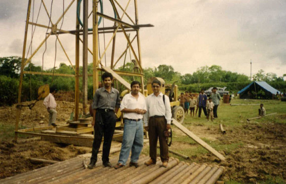
Diamond core drilling
- -
Soil samples Analysis
- -
Engineering geology studies
- -
Standard Penetration Tests
- -
Cyclic Plate load tests
- -
Dynamic Cone Penetration tests
- -
Permeability tests
- -
Lab tests- Soil/Rock
- -
Evaluation of Safe Bearing Capacity